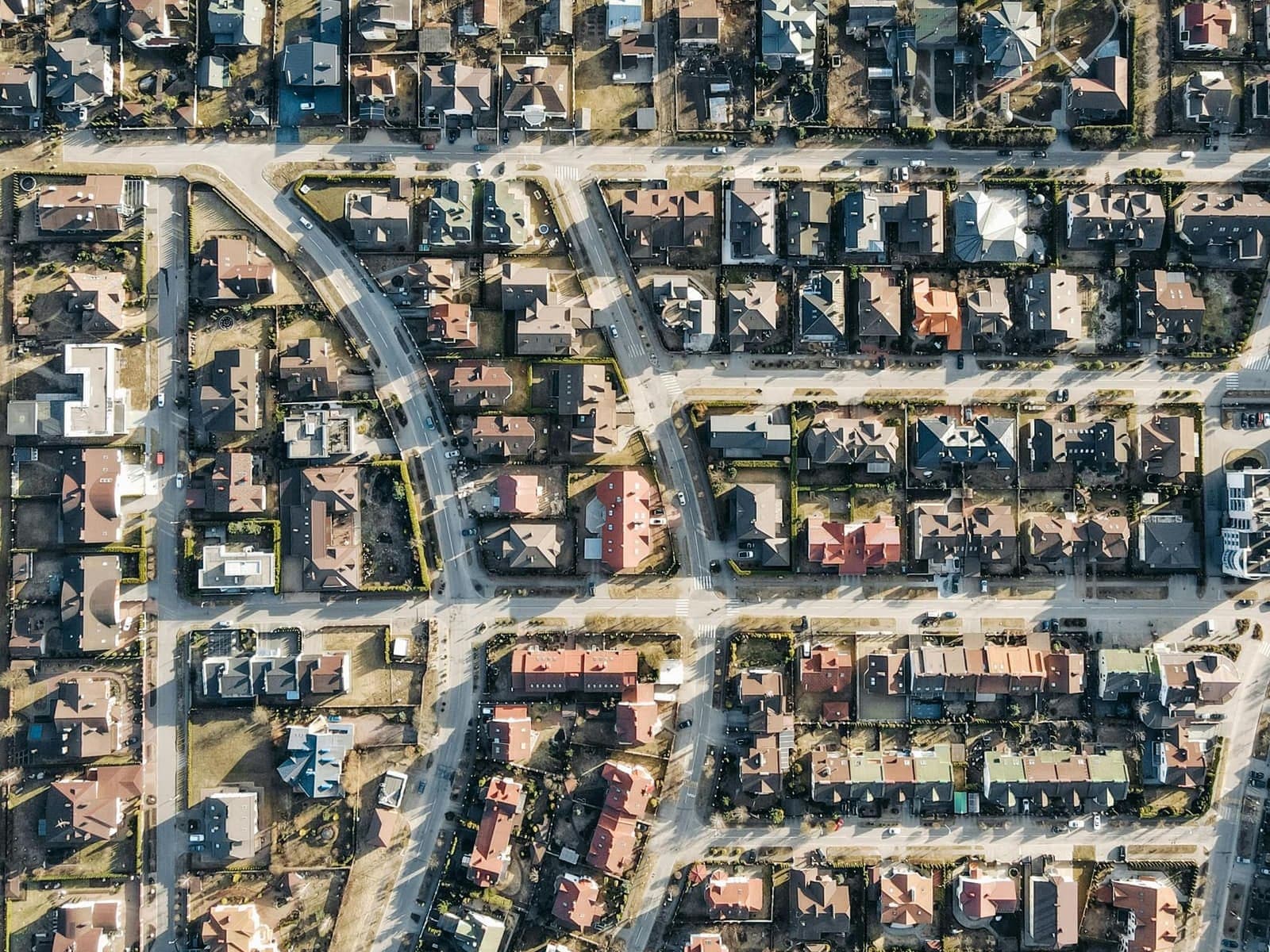
The regional 911 map
We keep the roads, addresses, and boundaries on the 911 map up to date, so dispatchers send help to the right place.
Not monitored for emergencies. Call 911.

It depends on where the property is. If you’re not sure, call us at (806) 762-8721 and we’ll point you to the right office.
SPAG GIS
Rural homes and businesses outside any city’s limits in Bailey, Cochran, Crosby, Dickens, Floyd, Garza, Hale, Hockley, King, Lamb, Lynn, Motley, Terry, and Yoakum counties. Use the request below.
Start your requestYour City Hall
Each city assigns the addresses inside its own city limits. SPAG does not. Call your City Hall.
Lubbock Emergency Communication District
LECD handles every addressing request in Lubbock County, and in Plainview and Abernathy in Hale County.
LECD address request (opens in a new tab)The request takes about two minutes, and a GIS specialist replies by phone or email.
Prefer to talk it through? Call (806) 762-8721 and ask for GIS staff.
Map apps build their own maps and are not connected to the 911 map. A new address can take months to show up in them. You can report it directly in the app (in Google Maps and Apple Maps, look for “Report an issue” or “Add an address”). 911 dispatchers use the regional 911 map, which SPAG updates as soon as your address is assigned.
The Postal Service sets mailing addresses, and some rural homes get mail at a route or box number. Your 911 address is where your home actually sits. Once you have it, give it to your phone, internet, and utility companies so their records match.
Use large numbers that stand out from the background, ideally reflective, where they can be read from the road in both directions, day or night. If your home is set back from the road, post the numbers at the driveway too.
No. Your county’s 911 center answers either way. The address makes sure the dispatcher can see exactly where you are and send help to the right place.
We keep the roads, addresses, and boundaries on the 911 map up to date, so dispatchers send help to the right place.
Maps and analysis that support local governments with transportation planning, environmental studies, and community development.
Map books, wall maps, and custom maps